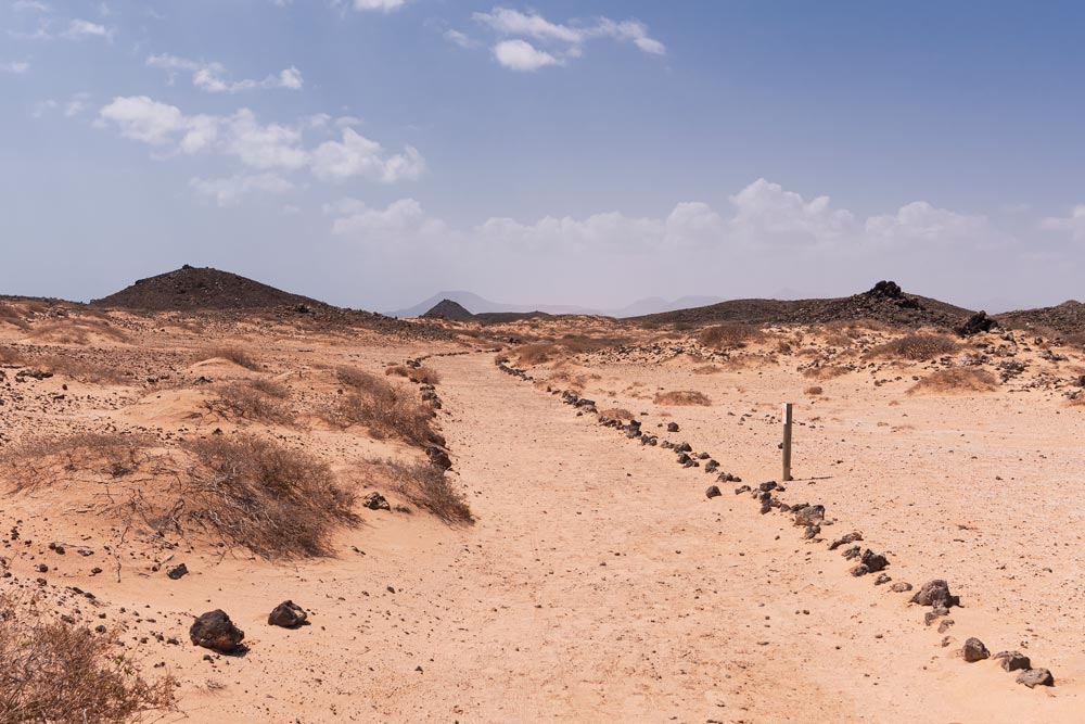
Lobos Island was discovered in the 15th century by the Spanish Conquerors. The only inhabitants at that time were local sea wolves, sometimes also known as monk seals. There were so many of them people decided to name the place after them. The island’s soil is volcanic. The highest point is Montana La Caldera, 127 meters above sea level.
Where is Lobos Island
Lobos Island is a small 5 km long located only 2 km away from Fuerteventura. Since 1982 its land has been a natural reserve. The last inhabitants, the lighthouse keeper and his family, left the island around the time when in the 1960s light became automated.
How to get to the Lobos Island
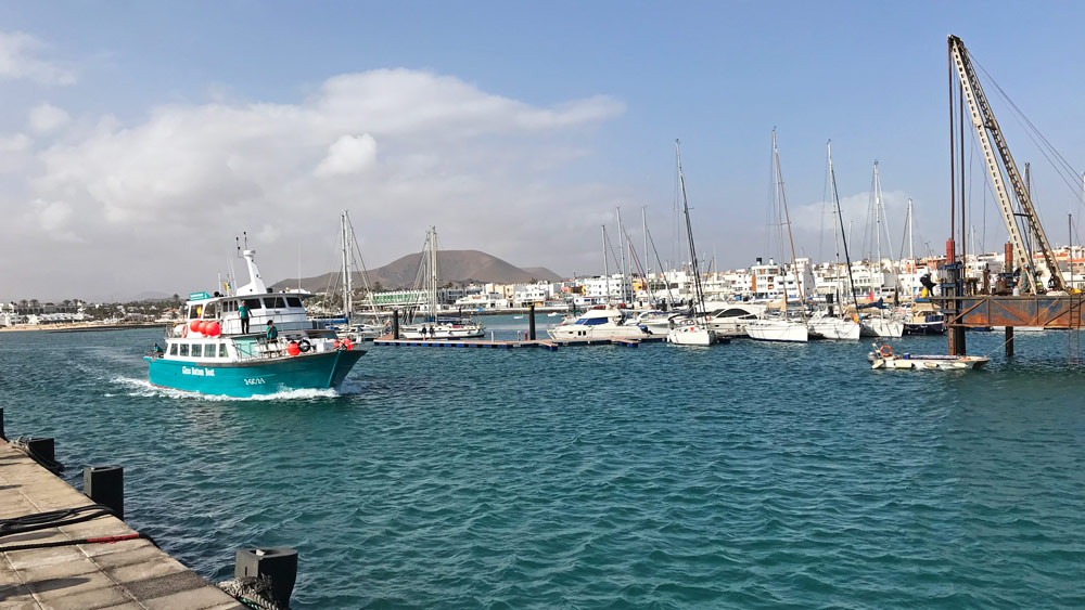
The easiest way and the most common is to visit the place with Lobos Island Ferry. There are two 2 popular ferry operators – Naviera Nortour, and Ferry Isla De Lobos. The journey usually takes only 15 minutes. It is not possible to carry a car, but bicycles are ok. The first ferry leaves Corralejo harbor at 9.45 am and the last at 4.30 pm. Ferry from Lobos to Corralejo – the first one leaves around 11.40 am and the last one at 6.15 pm. The average price is around 35 USD, and the lowest prices start at 18 USD. (For more information check Directferries.com website).
You will also need an island pass. There is a daily limit of number of people who can visit the island (200 visitors). The authorization is free and non-transferable, for personal use only. It does not cover any transportation costs. You need to carry it with you and be able to show it in case of control. There are two-time slots for which you get the pass. The first one is from 10.00 am to 2 pm, the second from 2 pm to 6 pm. You can get the pass at Lobospass.com site.
What to do on Lobos Island
Hiking
After you arrive at the island there is a small restaurant and museum with public toilets (the only one on the whole island usually open until 3.30 pm off the season, from July 1 to Sept 30 until 5.30 pm). There are signs which you can decide to follow. You can choose between two routes. The western part heads towards beaches like La Concha, or La Caleta, and the highest point Montana de La Caldera. The eastern routes will take you to the small fishing village of El Puertito and, the beautiful lagoons of Las Lagunitas. De La Arena Beach is located near the lighthouse Punta Martino. But don’t expect a sandy place. There are more rocks. It will take you about one hour to reach the lighthouse.
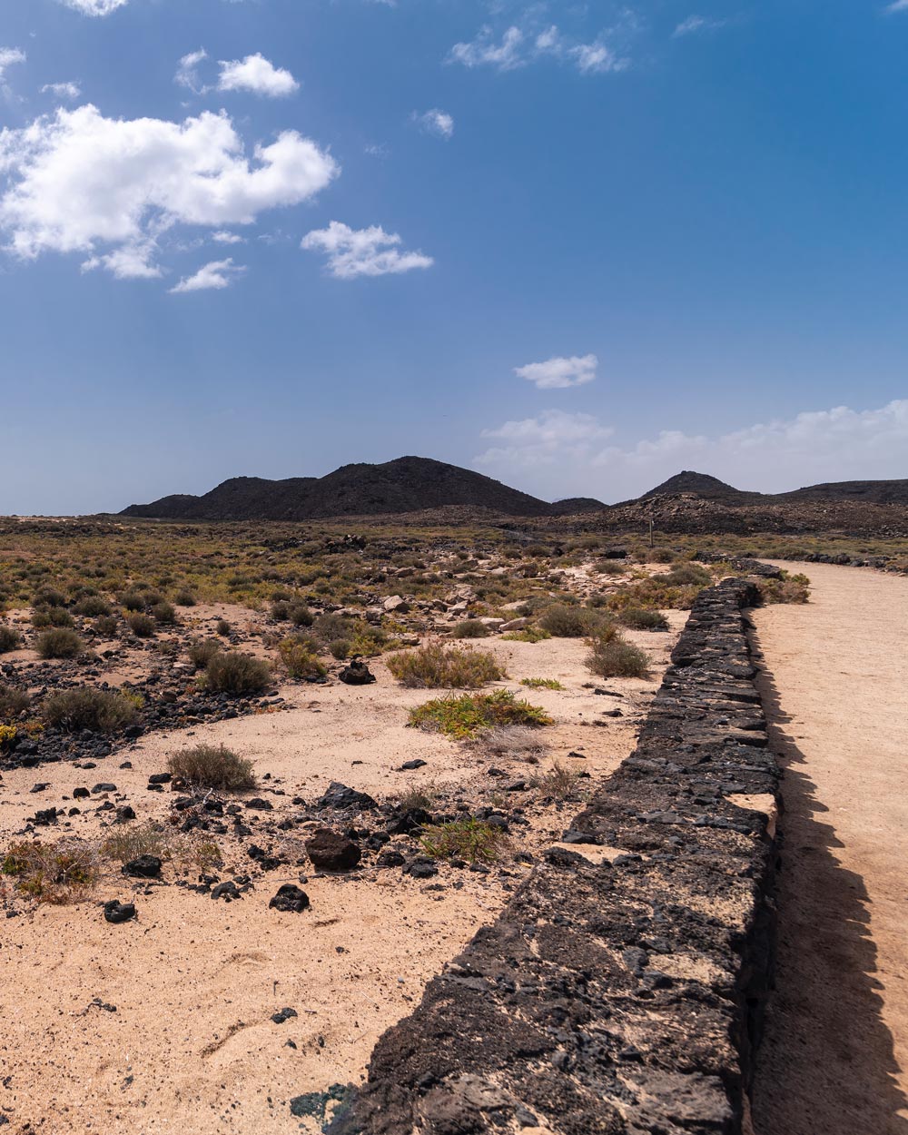
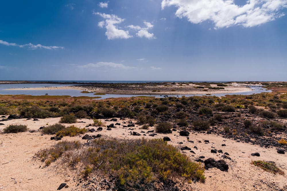
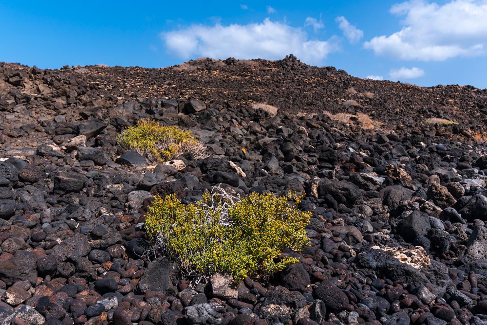
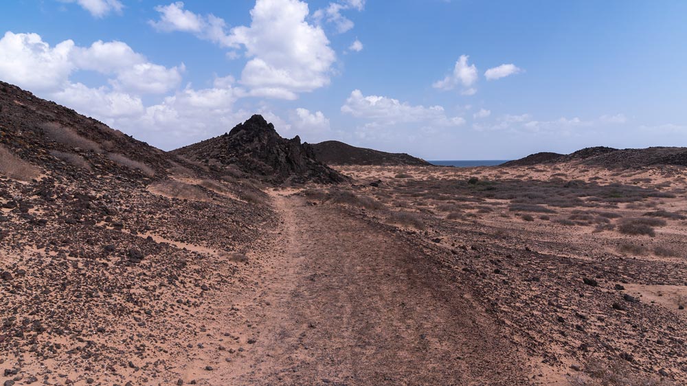
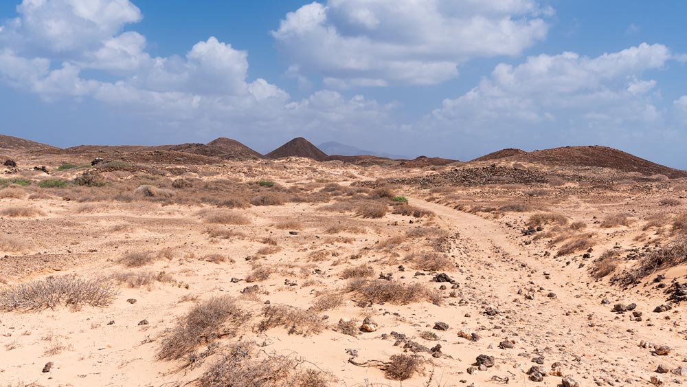
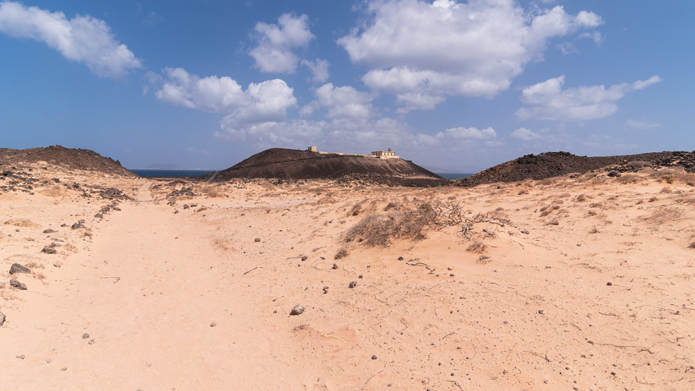
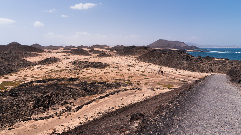
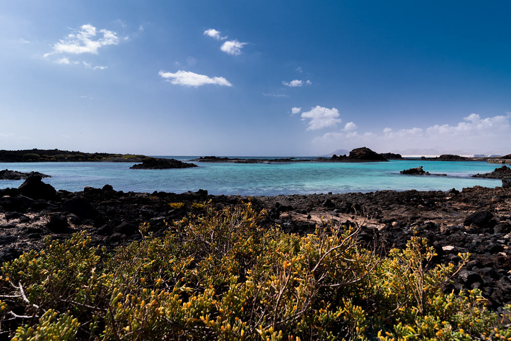
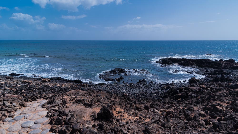
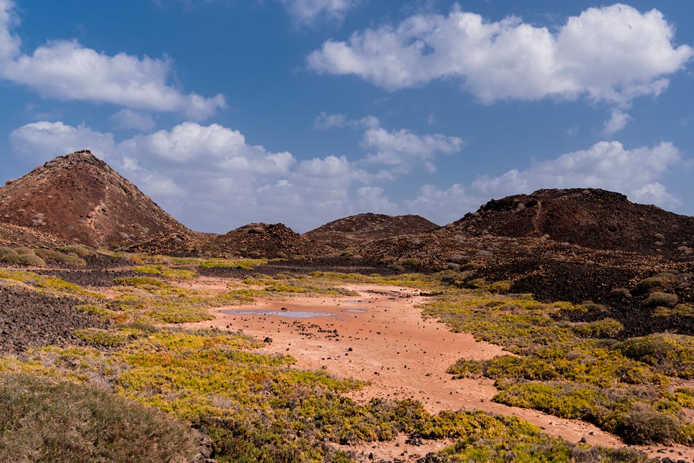
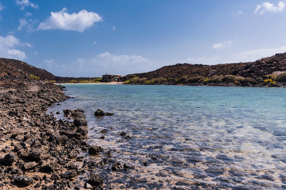
Since I have only taken the eastern route I can provide you with landscapes you will see on it. In the beginning, when you pass the village you will see nice blue lagoons. When entering the inland parts you will encounter more diversity in rocks as well as the plants that can survive in these arid conditions. The coastline is mostly black volcanic rocks. When nearing the lighthouse you start to see more desert areas with rocks ranging from light brown to dark black. Las Lagunitas is situated here too. It gives the place a more spacious look. During sunny days be prepared that the weather can get quite hot even in off summer season.
Beach day
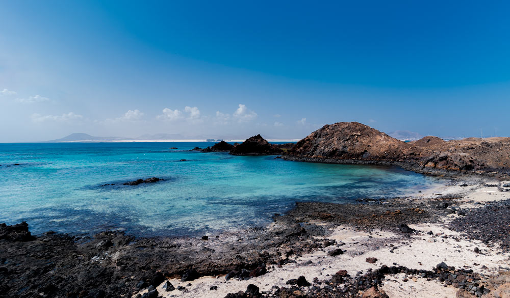
There are 5 beaches or places where you can spend a day near the ocean. It is possible to swim, snorkel, or even surf. La Concha is the main beach with calm waters and sandy shores. Nearby is La Calera beach with a more secluded and natural setting. A great spot for people who prefer quiet places. As mentioned before near the harbor is the village of El Puertito with a beach. It is also a place where you can get a snack, but you need to book it in advance. Del Sobrado and De la Arena are more rocky and not very visited.
Bird watching
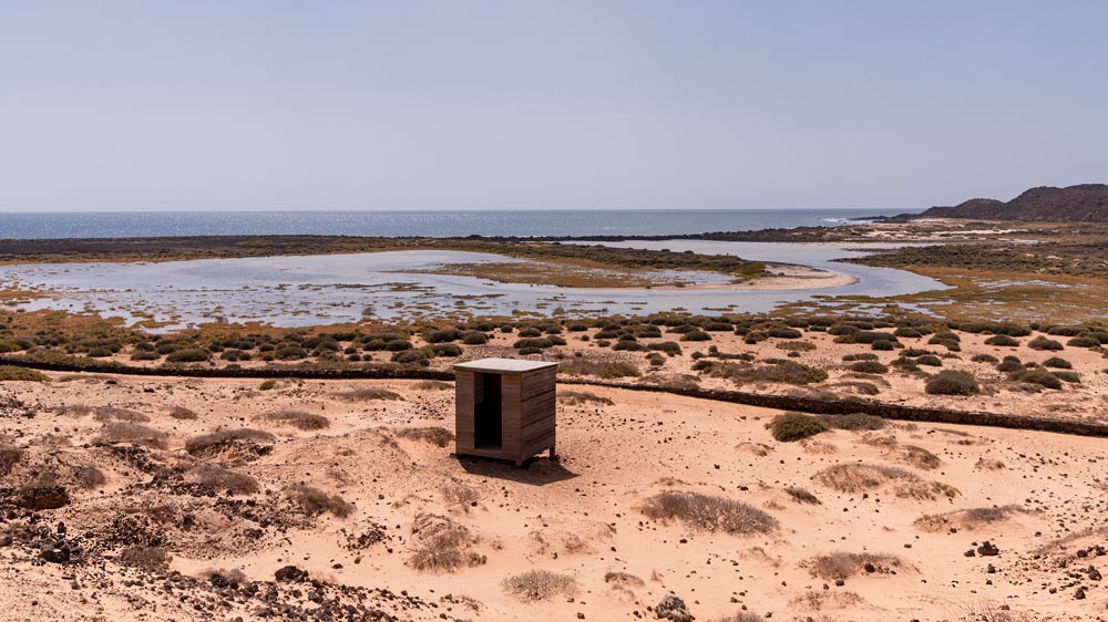
You can notice small wooden boxes in some places around the island. The island is home to many exotic birds like Houbara Bustard, Ospreyes, Kestrels, Eurasian Stone Curlew, Canary Islands Chat, Bertholot’s pipit, Little Egret, and many more.
Boat tours
In case you want to spend more time snorkeling, or diving around the island in the ocean. You can book a boar operator and get a guided commentary about the island’s history, geology, and wildlife too.
Climb Montana La Caldera
Opting for the western trail and adhering to the designated signs will lead you to Montana La Caldera, the highest peak on the island. The trail, with a moderate difficulty level, ensures accessibility for a diverse range of hikers. Reaching the summit promises breathtaking scenic views. The path ascends steeply along a cobbled trail, featuring numerous stairs throughout the journey. Be prepared for occasional strong winds, adding an extra element of challenge to the hike.
Picnicking
Not only the beaches but also the inland can be a nice and tranquil place where to go on picnics. The lighthouse area offers more shade where you will find many people resting before getting back to the harbor.
Photography
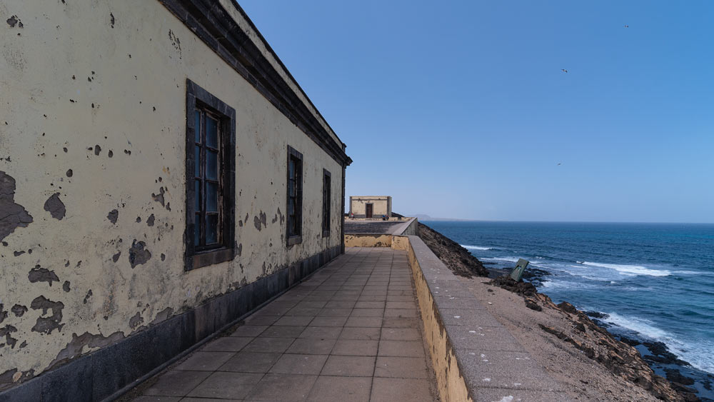
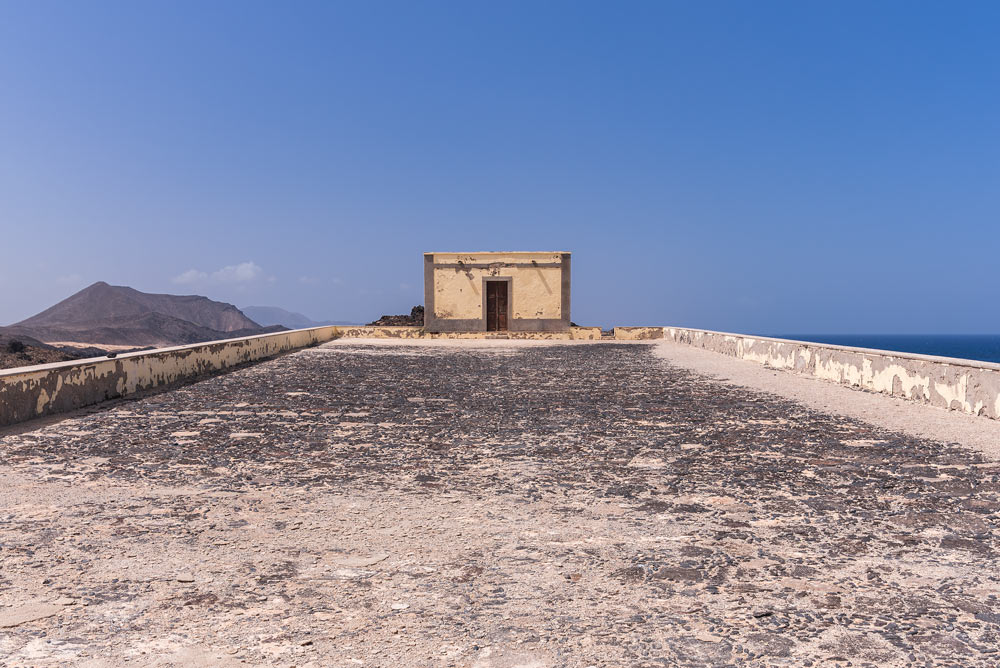
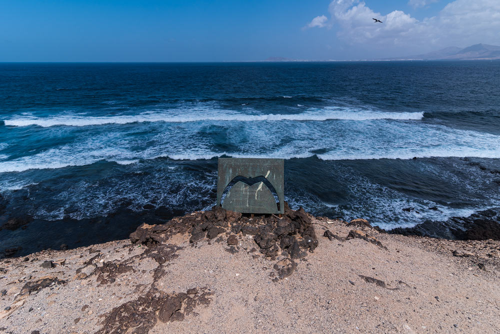
Lobos Island beckons to a diverse array of photographers, extending its allure beyond the realm of landscape enthusiasts. Its multifaceted landscapes, ranging from sandy beaches and rocky shores to sea caves, lagoons, volcanic formations, and arid deserts, present a captivating canvas for not only landscape photographers but also those seeking ideal backdrops for portraits or intimate elopement weddings. The island’s avian residents, including a variety of birds, make it an equally enticing destination for wildlife photographers seeking to capture the rich biodiversity that thrives in this pristine setting.
Explore the village
El Puertito is the only village on the island. It lies near the harbor. You will find some houses around, a place with snacks and some fishermen. According to visitors, it is a must-see area with a pier, a beautiful blue lagoon, and calm waters. Peaceful place with great snorkeling conditions.
Sources:
directferries.com
lobospass.com