Costa Calma is the third biggest town in Fuerteventura located in the southern part of the island. In this article, I share my first hiking trail adventure in a foreign country.
The Costa Calma to Agua Liques trail – a route that connects the eastern and western parts of the island in its shortest part. The hike is one of the easiest to complete. Some sources say it is a 10 km moderately challenging route that can be done in 2 hours and 26 minutes. In case you don’t plan to rest on the western coast or dedicate all your time to shooting.
How to reach Costa Calma
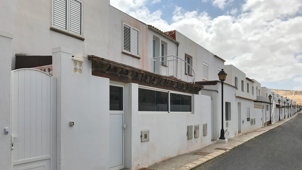
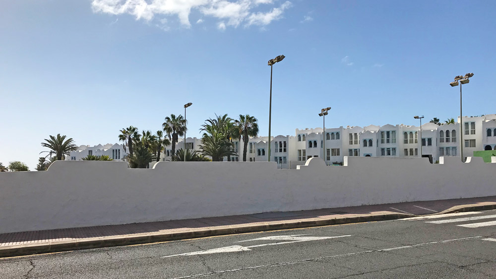
You can reach Costa Calma by car, taxi, or bus (1, 10 – price around 8€) from the capital city of Puerto Del Rosario. I decided to take the bus, get off at the first stop in the town near the tourist information center, and walk around. The town is mostly filled with many resort buildings, restaurants, and small shopping malls. In the middle near the main road, there is a park with many high palms and benches.
Costa Calma boasts an incredible beachfront, notably Playa de Costa Calma and the renowned Sotavento Beach. Sotavento stands out as a haven for windsurfers and kiteboarders, benefiting from its reliable winds and shallow waters. Comprising five distinct beaches spanning 9 kilometers, this stretch unveils stunning lagoons created by a 100 to 300-kilometer sand barrier. At low tide, additional enchanting lagoons emerge, adding to the beach’s allure.
The Trail
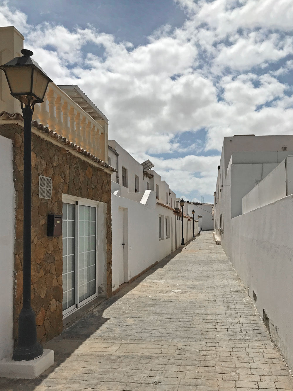
You can start the trail at the Shopping Center El Palmeral situated near the bus stop and gas station. The mall is quite small, yet it might suffice if you’re seeking souvenirs or essential items for your travels.
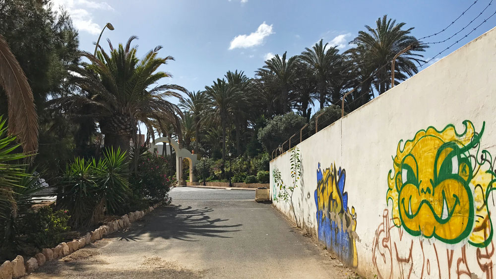
In front of it is a big parking lot where you are supposed to be able to find a big board with information about the hiking trail. When you cross it just turn left and go up the Playa de la Jaqueta street. When you are near the highway FV-2 turn right. There is one mini market (De Mari) on a nearby street in case you need to buy some additional food. Next, you need to walk near the highway fence on one side and the Calle Playa de la Jaqueta Street will be on another side. You should be able to find the tunnel sprayed with graffiti to cross the road.
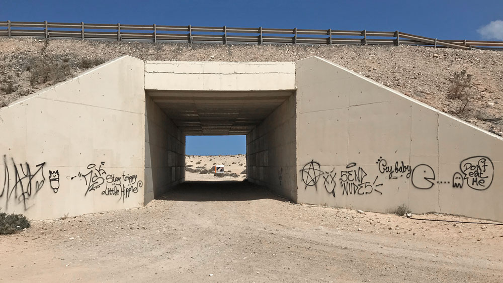
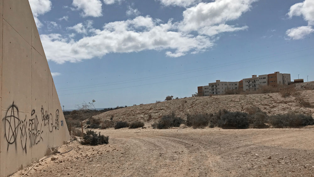
After you cross it a big sign will welcome you with information about the trail. You can turn right or left up the hill and start to follow the signs. Unfortunately, my hiking skills and the ability to follow signs at that time were very low. So I decided to just go straight and follow GPS. I was quite scared and did not feel very safe being alone in such a place where there were no other tourists around.
The only people on my way to the West Coast I saw were a girl walking her dog and one or two people coming back to Costa Calma. On my way back I had the chance to meet with two other tourists. They seemed to be very happy to see some other human being in this vast desert area.
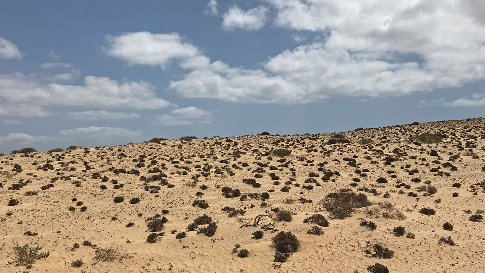
The first part of the hike is mostly desert with many small green to brown-colored bushes and disappearing windmills on the left if you look back. It can be quite windy.
The more you start to be closer to the West Coast the more you will start to see the Atlantic Ocean. The trail dusty road can lead you to the small gap where you can come down near the ocean. When arriving at this point I found some Japanese or Chinese tourists, and later when exploring the coast there were maybe up to 5 people present.
If you have a lot of time you can continue hiking either to La Pared or Playa Larga. When deciding on La Pared expect about 22 km and 5 hour long walk (including return to Costa Calma).
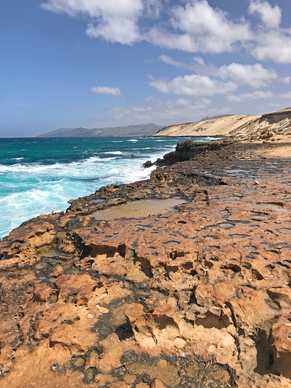
The west coast is home to many interesting rock rock formations. Some more dusty and sandy looking with sharp endings, some black, or black and white, dark volcanic. While there might be areas to access the water (though I haven’t discovered them), the overall strength of the Atlantic Ocean’s waves is formidable, and tragically, several tourists have lost their lives in these waters.
The journey took place in early April, shortly after the onset of COVID restrictions. The day proved exceptionally warm, with temperatures reaching 25 degrees Celsius. For hikers planning the Costa Calma to Playa Liques trek, it’s advisable to consider weather protection. Sunscreen, a hat, and sufficient hydration due to the potentially hot conditions. Additionally, lightweight, breathable clothing and comfortable hiking shoes can enhance the experience and ensure a more enjoyable hike amidst the day’s warmth.